DataDrone
About DataDrone
DataDrone is a premier provider of high-precision aerial intelligence and professional Drone Surveyor Ireland services. Operating from our headquarters in Sandyford, Dublin, we deliver survey-grade data for the construction, industrial, and environmental sectors nationwide.
Our Specialized Capabilities:
LiDAR Surveying: High-accuracy 3D terrain modeling and vegetation penetration using integrated GNSS/IMU sensors.
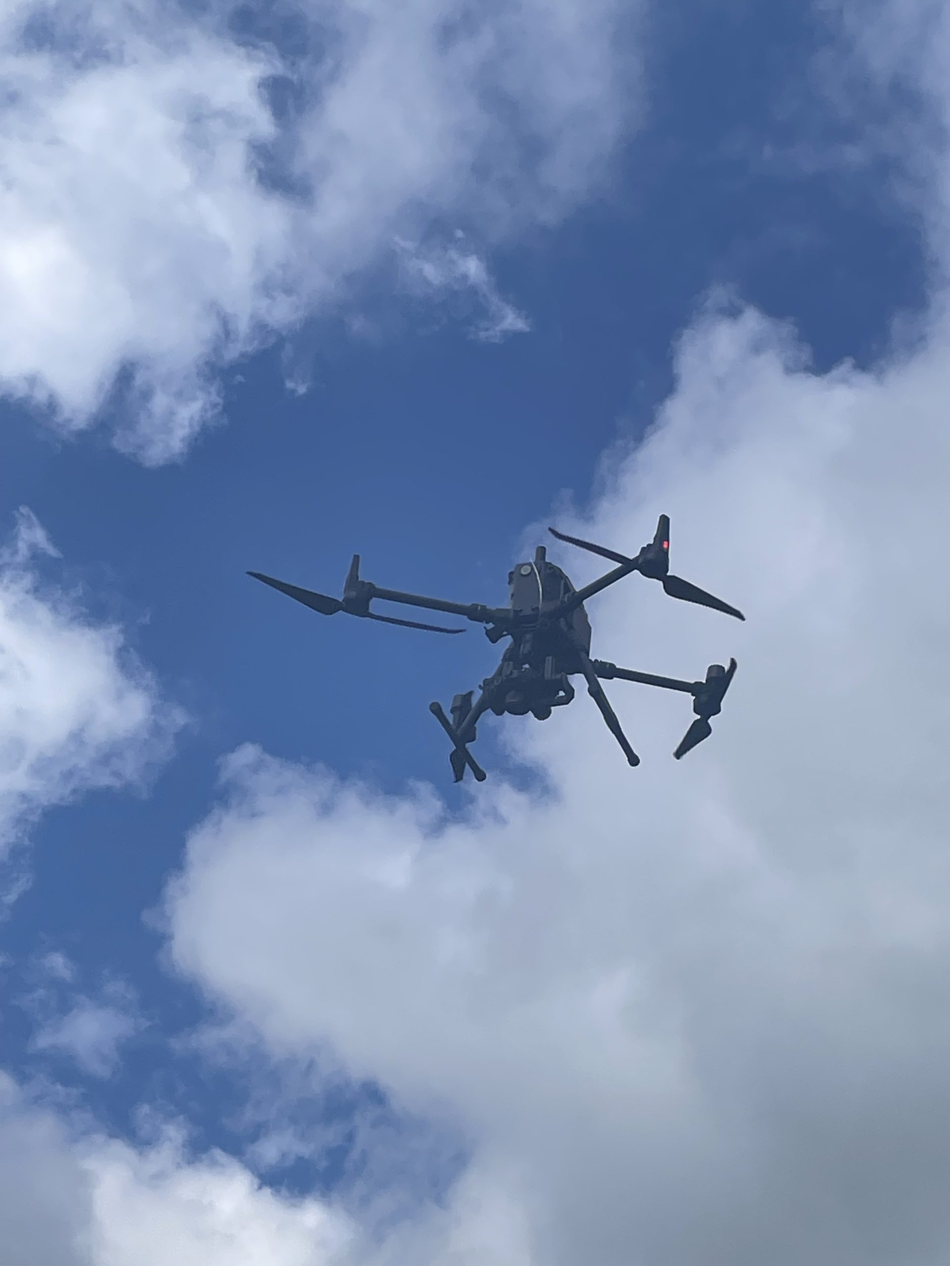
61MP Photogrammetry: We operate the DJI M300 RTK with a Sony A7RIV sensor for ultra-high-resolution orthomosaics.
Volumetric Analysis: Fast, precise calculation of stockpile volumes and excavation sites.
Topographic Mapping: Efficiently surveying hundreds of hectares with centimeter-level precision.
We process all raw data into actionable GIS outputs (GeoTIFF, LAS, DWG) using Agisoft Metashape, QGIS, GlobalMapper etc as well as providing custom web mapping formats. Led by an experienced operator with Part 107 and IAA certification, we focus on streamlining workflows to achieve significant cost savings for our clients.
Business Contact Information:
Address: 51 Bracken Road, Sandyford, Dublin, D18 CV48
Phone: +353 86 085 5409
Email: niall@datadrone.ie
Website: https://datadrone.ie
Reviews
No reviews yet. Be the first!